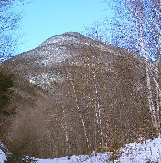
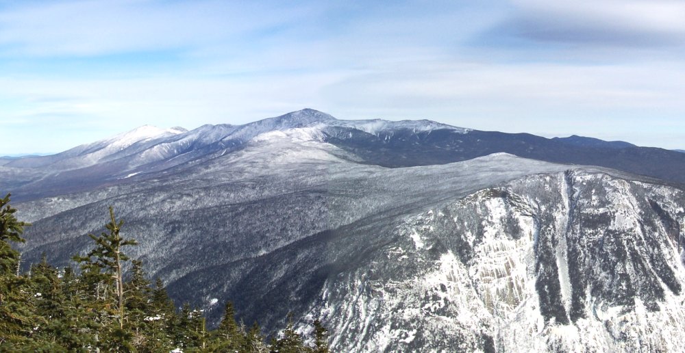
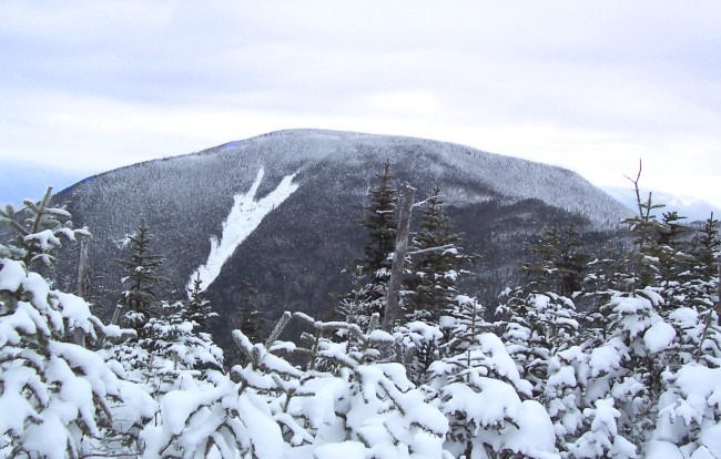
Mount Willey from just above Crawford Notch. The climb is about 2700 feet.
The Willey Range: Tom, Field & Willey, along with some leftover pics from December.
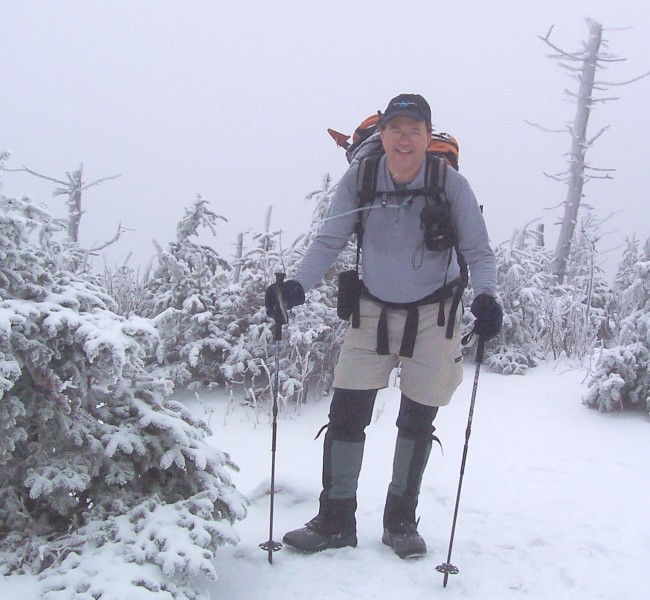
Rising sharply to the west of Crawford Notch on Route 302, we have the Willey Range, topped by three of the New Hampshire 4000-footers, Tom, Willey & Field. On a clear day they afford spectacular views of the Presidential Range, the Pemigewasset Wilderness, the Hancocks and Cardigan. That's on a clear day. I did these three peaks in two installments, and the first day was not clear. Day 2, however, was fantastic. We'll start with day 2, January 29, 2005. The temps were in the 20s, there was not a soul on the trail, and nobody had climbed Willey from either direction in some time. Crampons were once again the footwear of choice. The Ethan Pond Trail is a wonderful ramble through a birch forest, with the cliffs on Webster in view the whole time. Then comes the Willey Range Trail, which is straight up for the next mile or so. (Should have gotten a picture of the ice covered steps!) Since I did not feel like climbing (or sliding) down the way I came up, I decided to repeat Field and hitch back to the car (no problem there at all). Cheers to Rusty, K1HR, Ken, K1ST, and Bob, KB1KDB.
|
Mount Willey from just above Crawford Notch. The climb is about 2700 feet. |
|
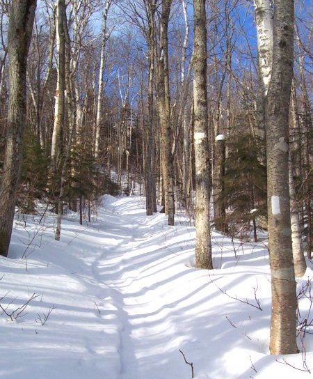
The Ethan Pond Trail climbs gently for the first mile and half through mostly birch forest. |
 |
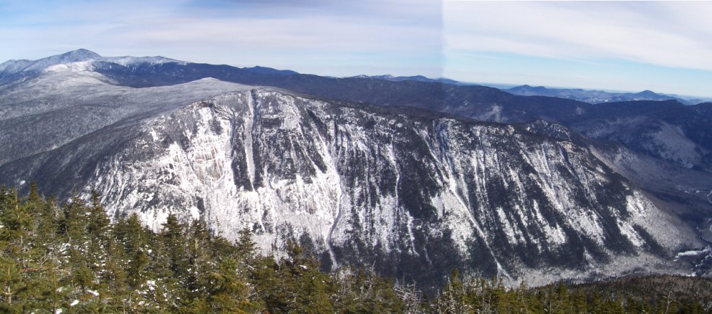 |
| The Webster Cliffs
rising from Crawford Nortch are visible for a great deal of the climb up.
This is the view from the first lookout on Willey. The Presidential Range is off to the left. |
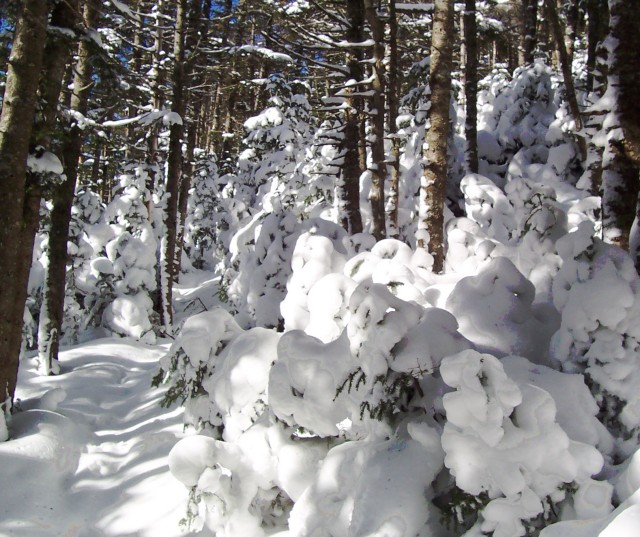 |
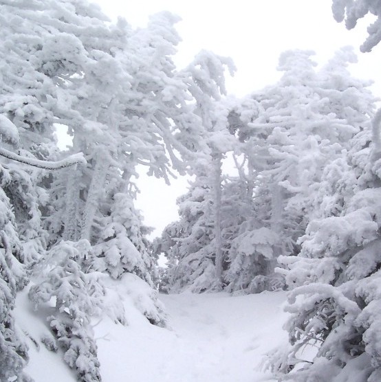
It was nice and fluffy along the ridge bewteen Willey and Field. Snow bombs from the trees were an issue. |
 |
|
The Presidential Range, with Webster Cliff in the foreground. |
The Willey Range, Day 1--December 12, 2004
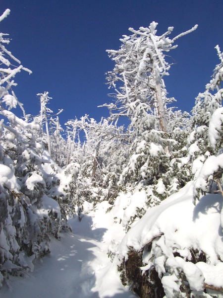
You don't need sunshine to climb, and this was proof. Cloudy, not to chilly, just after one of those icy, cover the trees with rime nights, with little new snow on the trail. This was peak-bagging at its greyest, with visibility under a quarter mile. This was a mellow ramble up to Mt. Tom, chatting with Paul from Worcester, then a nice snowshoe along the ridge to Field, and down a sometimes slippery Avalon Trail. Despite the lousy weather there were lots of people out and about.
|
Yes, this picture is in color. This is near the top of Mt. Tom.
|
 |
 |
On top of Mt. Tom, with a spectacular view towards the Pemigewasset Wilderness to the west. The view from Mt. Field was more of the same. |
The Hancocks, December 19, 2004
Okay, December was a little obsessive. But the weather was good, and the Hancocks (North and South Hancock, that is) are just a short hop up the Kancamagus Highway. Another greyish day, but moderate temperatures, and a bit of new snow over the crust. This hike is a mellow ramble over and along a bunch of streams, then you go straight up. The trees still had their coat of ice from the week before. The sky was blue, but the views were hazy. This hike was about solitude; I had the entire trail to myself. After climbing down South Hancock I remembered the dried peaches in my pack. Just the fuel I needed for the walk out.
|
The icy trees and snowy approach to the summit of North Hancock. |
 |
 |
North Hancock |
Attempt on Mt. Mansfield-December 21, 2004
I had an excuse. I had to pick up Amanda in Richmond, Vermont, since it was Christmas vacation. So I had to drive to Vermont. And Mt. Mansfield was sort of along the way. It was something below zero for the start, but the temperatures shot into the teens. This was one of those almost hikes. It was an easy crampon walk up to the high hut on the Long Trail. Then the drifts got very deep. It was a struggle to get up to the last ridge, and the trail had completely disappeared. It was now turnaround time, with about .2 miles to go, and about 200 feet of climbing. At the rate I was moving, it would have been at least an hour more, so the summit was not even an option. Plus, the top of Mansfield was completely caked in ice. You can see the foot-thick ice plastered on the northwest sides of the trees. Oh, and the wind was occasionally gusting to 40 m.p.h. I'll be back.
|
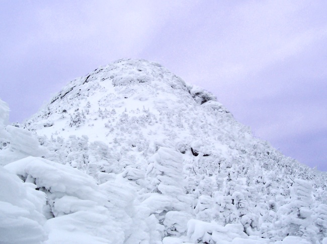
The top of Mt. Mansfield, also known as The Chin. This is as close as I got. |
 |